The T Squared Trail
I decided I needed one more hike for the season and the T Squared Trail looked like a good choice. I had seen the BFT end of it years earlier (see Donut Hole Trail posts for that discussion).
Hiking this trail meant driving to the southernmost Black Forest Trail (BFT) trail-head on PA Route 44. Every other time I have passed or parked at this trail-head parking area there have been 1 or 2 cars at most. This time there was 12!!! and only one spot for me to park. This included 2 short buses from a Pennsylvania university (no, not Penn State). Anyway, it was lightly raining and the temperatures were in the mid-upper 40's. I proceeded west of the BFT from the road (the trail-head is very well marked here by the way). The trail (BFT) started moderately downhill at about a mile and then as I was approaching the intersection with the T Squared Trail there was a group of about a dozen college-age hikers with backpacks (not day-hiking packs) standing in a circle (this was one the BFT potential camping spots). One greeted me as I approached and I returned the greeting, but I kept hiking as I had to cross a stream to reach the beginning of the T Squared Trail as it headed uphill. As I hiked steeply uphill from the junction, the other hikers started doing cheers and what sounded like a chant (I was concentrating on my trek up the hill too much to worry about the exact words they were using). I assumed they were from the two short buses I saw in the parking area and on a weekend backpacking trip, but obviously I do not know for sure.
 |
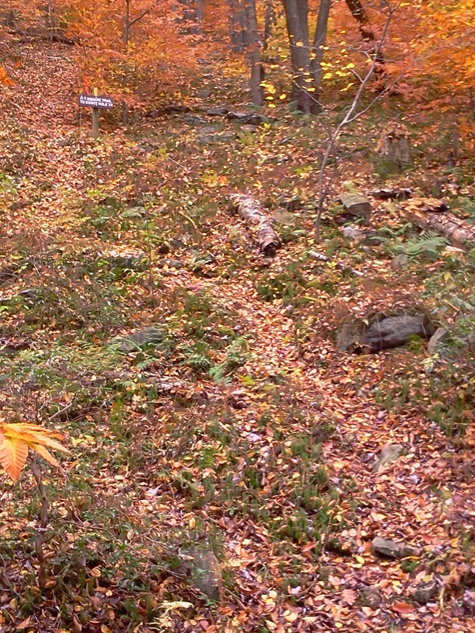
| BFT end of the T Squared Trail |
After the steep uphill section the trail leveled off and I reached the junction with the Baldwin Point Trail (that trail, which I had done four -five years ago. goes to a nice vista, but is little hiked). Also, the rain stopped at this time that allowed me to remove my rain poncho although the rain poncho offered some protection from the chilly breeze.
 |
| Intersection with Baldwin Point Trail (new sign) |
 |
| old sign at same intersection |
 |
| Looking down the combined T Squared and Baldwin Point Trail |
I should mention here that the T Squared trail got some maintenance recently and is in very good shape; with good tread-way and is easy to follow. No trail I have hiked in PA in the last 10+ years has been in as good shape as it - thank you to the many people responsible for its condition!!
Back to the narrative - Continuing on the trail I reached intersection with Benson Road and then reached the below signs (marking antecedents to the T Squared).


After this, the character of the woods started to shift from that like the BFT more towards being like the Donut Hole Trail (or so it seemed to me). After crossing a stream and doing some switchbacks I eventually reached the point overlooking Cougar Run and the trail started switch-backing down the steep hillside. And so I reached the Donut Hole Trail at the bottom of the hill at mid-day. Reaching this point reminded me of the moment 14 months earlier when I was thru-hiking the Donut Hole Trail and when having reached that point thought to myself "I'm glad I 'm not going that way" because of the steep climb the T Squared Trail makes from there (the very hill I had just descended). After taking a few photos (I have included one here and the others on the Donut Hole Trail post). I had my lunch and then hiked back in the direction I had just came (there was this very slight temptation to hike to Hyner Run State Park from there (it would have been 2-3 hours from there), but that was totally impractical and not any easier than returning the way I came.
As it turns out the return trip was not any harder than the hike in. Eventually I reached the point shown below that let me know I was close to the T Squared - BFT intersection.
 |
| Approaching the BFT |
Soon I reached the BFT again, this time no other hikers were around. I took a few more pictures (below) and then hiked back up the BFT to my vehicle. All in all this was a very nice hike that I would recommend to anyone.
 |
| Stream at intersection of T Squared and BFT |
At the end of the hike I took these photos of the point where the BFT meets the road.


My next post will include a discussion of possible hikes for next year and my thoughts on what worked this year and what did not.